Student project
Shaped by the Sea
Background
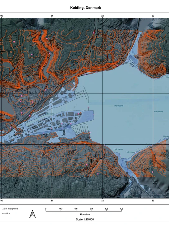
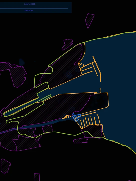
Mapping rising sea levels as an agency for actors
Shaped by the Sea
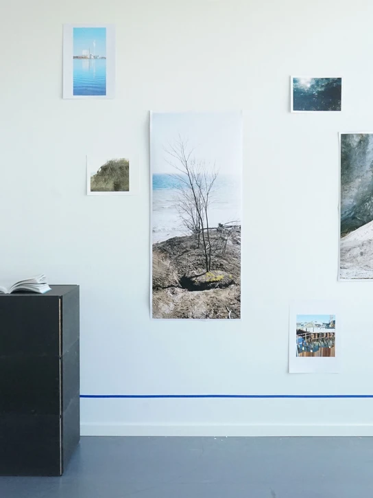
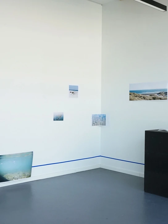
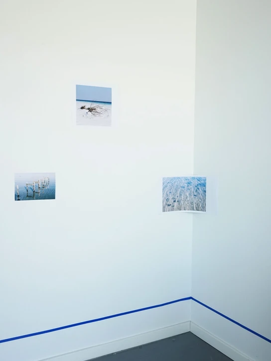
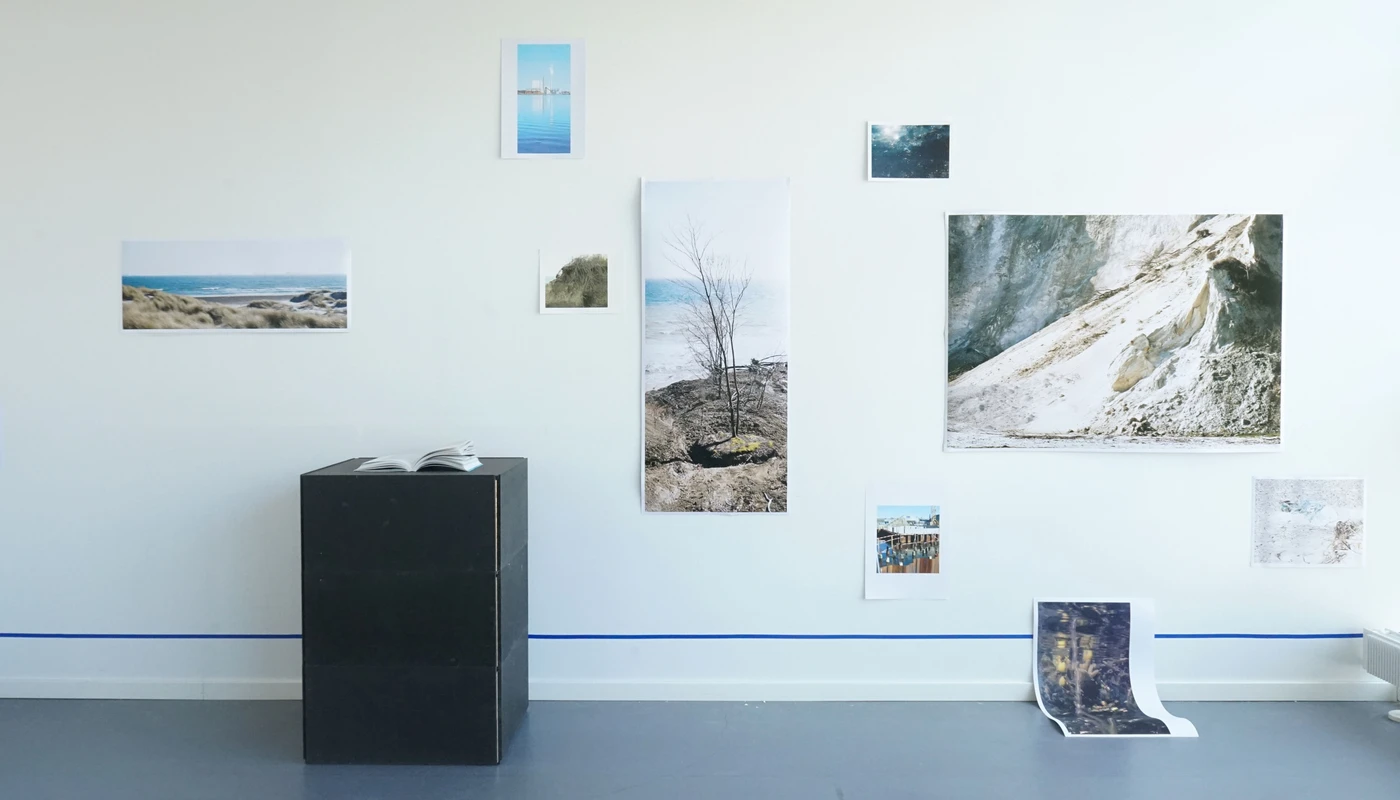
The Master’s Thesis “Shaped by the Sea - Mapping rising sea levels as an agency for actors” fosters the Map as a tool for the relational designer to map subjective stories in regards to rising sea levels. I emphasise asking decision-makers to “be-in-the-world” rather than just looking down at it (like a map) to see the full picture of what we might face in terms of climate change. The relational designer would use a map to act with the world and asks: “How can the map be an agency for actors to address rising sea levels?”